Areas in the coastal zone of Lurøy

Possibilities for sea-based industries.

Download prospect

Area size

1,036 m²

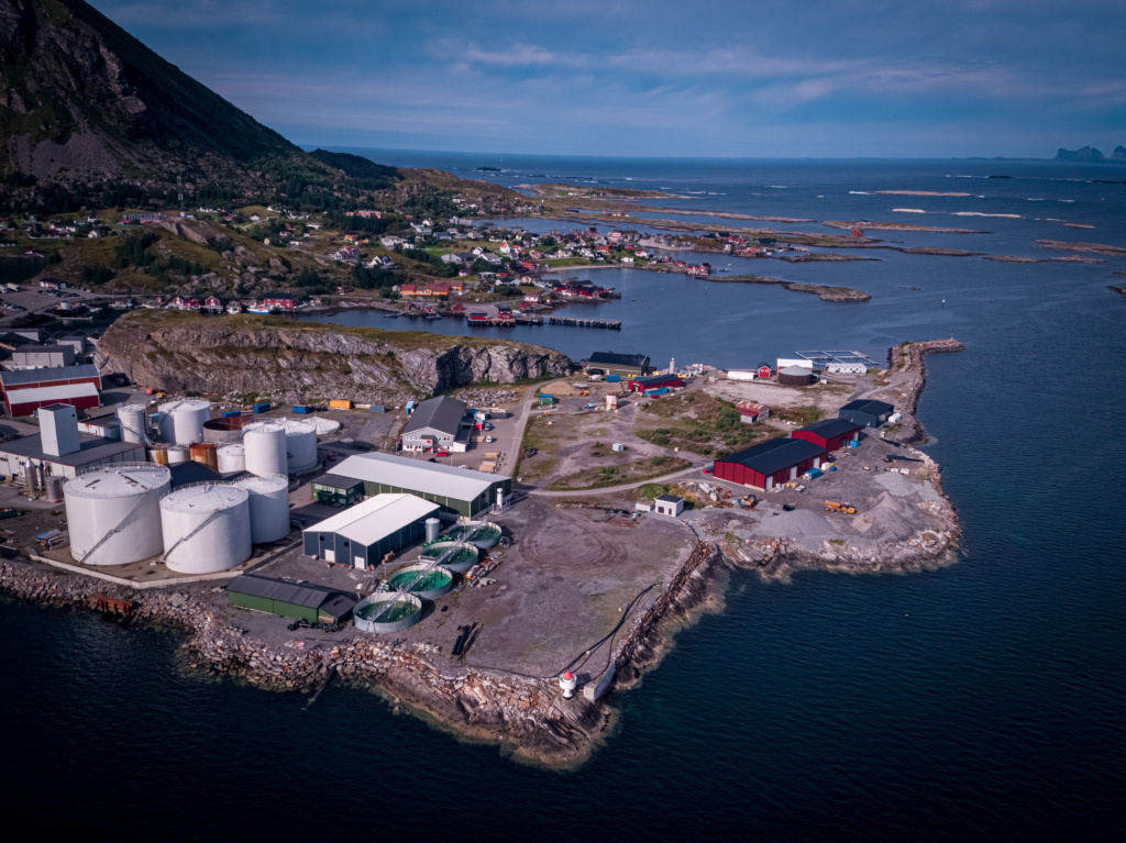
The Coastal plan of Lurøy determines land use cf. PBL § 1-2 in Lurøy municipality. The “plan map” for the coastal zone withassociated provisions are a legally binding document, authorized in the Planning and Building Act (PBL) § 1-2.

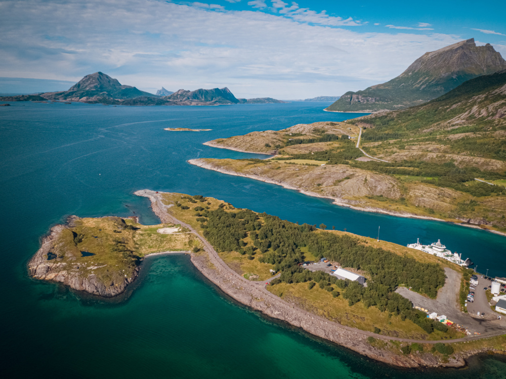
The plan determines future land use and is binding for new measures or expansion of existing measures within the planning area. cf. PBL § 1 1-6. The plan covers the sea areas in Lurøy municipality and applies to the water surface, in the water column andon the seabed.

The plan shall give ocean-related industries possibilities for value creation, based on terms of sustainable development.

Coastal zone plan

Area properties

Owner(s)
Lurøy Municipality
Area type
Ocean, coastal areas
Location/building for sale or rent
Rent

Infrastructure

Surrounding business
Three fish farming companies have both head office and production premises in the municipality; Nova Sea and Lovundlaks on Lovund, and Kvarøy Fiskeoppdrett on Kvarøy. The local aquaculture activity contributes to great value creation.
Access to expertise
High competence on marine-related industries, in the area.

Capacities

Logistics

Airport
Closest airports are Sandnessjøen and Mo i Rana
Port
Several harbors in the area